
Please note: This site contains links to websites not controlled by the Australian Government or ESA. Read more in the Terms of Use.
Stellar navigation and mathematics
Students will learn about celestial positions, the azimuth and altitude to shape their understanding of traditional navigational techniques.
- Resource details
- Year level
- Year 5
- Purpose
- Teaching resource
- Strand
- Space Measurement Statistics
- Topic
- Angles and geometric reasoning Statistical investigations
- Audience
- Teachers
- Format
- Webpage
- Numeracy progression
- Positioning and locating (P5)
- Publisher
University of Melbourne
- Copyright
© The University of Melbourne – Ngarrngga, 2026. Free-for-education.
Related resources
-
Indigenous Ecological Knowledge and celestial objects
Students investigate how Aboriginal and Torres Strait Islander Peoples use the stars and moon to understand seasonal changes, and plant and animal behaviours, strengthening connections to Country.
Resource details -
Statistics: Time to play
Statistics: Time to play
Resource details -
Measuring angles
Use quarter, half and three-quarter turns to introduce angles and the formal unit of measurement (degree).
Resource details -
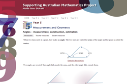
Angles – measurement, construction and estimation
This resource provides teacher and student resources involving estimating angle size. It includes a self-check for student answers to questions.
Resource details -
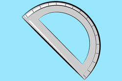
Angles and parallel lines: Year 5 – planning tool
This planning resource for Year 5 is for the topic of Angles and parallel lines.
Resource details -
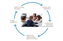
Conduct statistical investigations: Year 5 – planning tool
This planning resource for Year 5 is for the topic of Conduct statistical investigations.
Resource details -
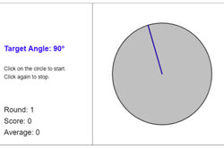
Estimating angles
Teaching notes to support the use of an interactive task that enables students to estimate the amount of turn (angle).
Resource details