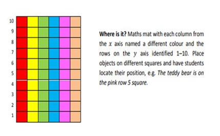
My town
Students use everyday language to give directions, follow directions to locate positions on maps, and draw plans from a bird’s-eye view.
Additional details |
|
| Year level(s) | Year 4 |
|---|---|
| Audience | Teacher |
| Purpose | Teaching resource |
| Format | Downloadable resources |
| Teaching strategies and pedagogical approaches | Concrete Representational Abstract model, Culturally responsive pedagogies |
Curriculum alignment |
|
| Curriculum connections | Numeracy |
| Strand and focus | Measurement, Build understanding, Apply understanding |
| AC: Mathematics (V9.0) content descriptions |
AC9M4SP02
Create and interpret grid reference systems using grid references and directions to locate and describe positions and pathways |
| Numeracy progression |
Positioning and locating (P4)
|
Copyright details |
|
| Organisation | Queensland University of Technology |
| Copyright | © Queensland University of Technology. Creative Commons BY-NC-SA 4.0. |
Related resources
-
Grid symmetry
Use a problem-solving approach to investigate reflection symmetry.
Resource details -
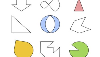
Finding lines of symmetry
Students explore line symmetry by drawing lines of symmetry to divide shapes into two halves.
Resource details -
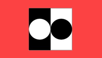
Geometric pictures of one half
Students draw on geometric reasoning, symmetry and understanding of a half to compare the area of a square.
Resource details -
Stage 2 – scaled number lines and temperature
This guide activates prior knowledge of number lines to support reading temperatures.
Resource details -
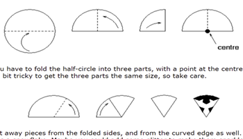
Making maths: snowflakes
A student task that shows how to fold and cut paper to make a model snowflake, demonstrating six lines of symmetry.
Resource details
